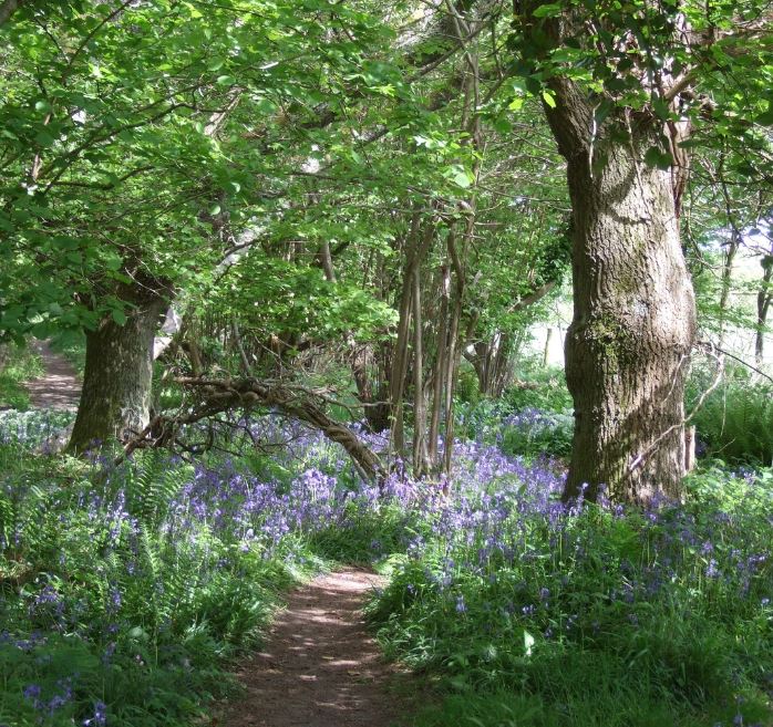
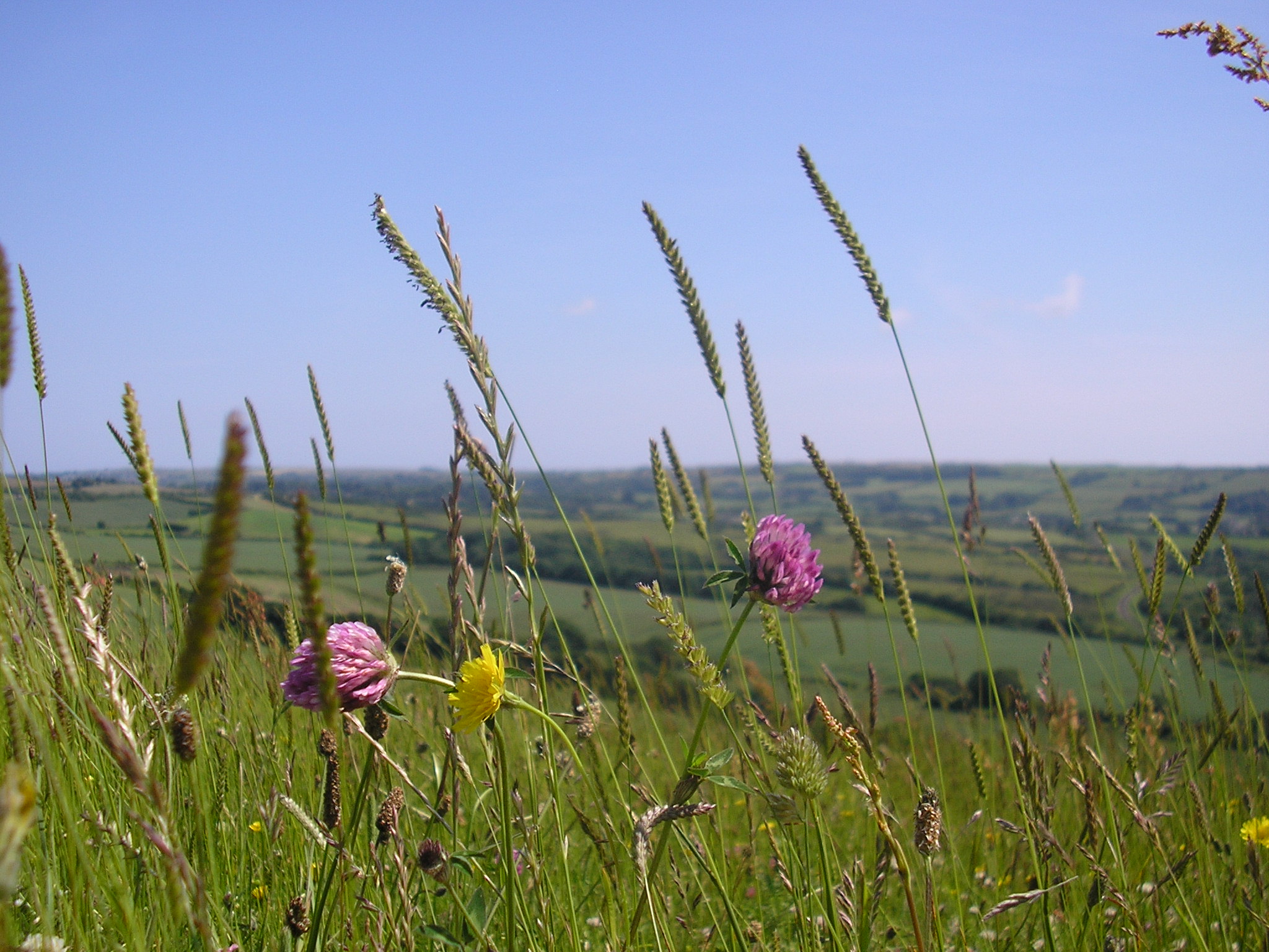
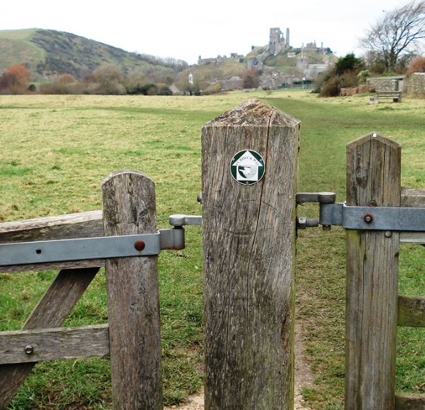
The Purbeck Way is a spectacular walk within an Area of Outstanding Natural Beauty (AONB).
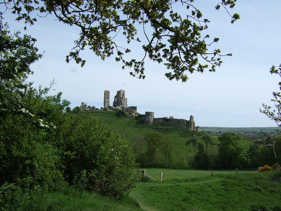
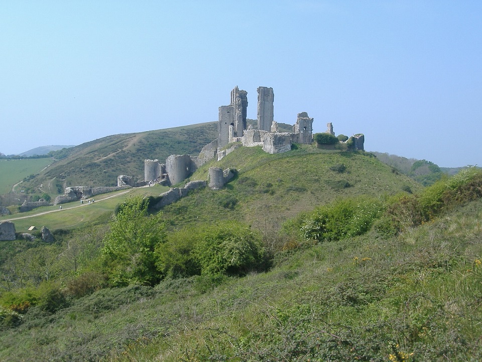
Some of the highlights along the route include visiting the delightful town of Wareham surrounded by the Saxon Wareham Walls. Then the landscape and its wildlife completely changes across Stoborough Heath and Creech Heath to Corfe Castle - find out about the village's long and eventful history dating back well before the castle itself. Enjoy the magnificent views from the chalk ridge of Ballard Down across Poole Harbour on your way to Old Harry rock or Swanage.
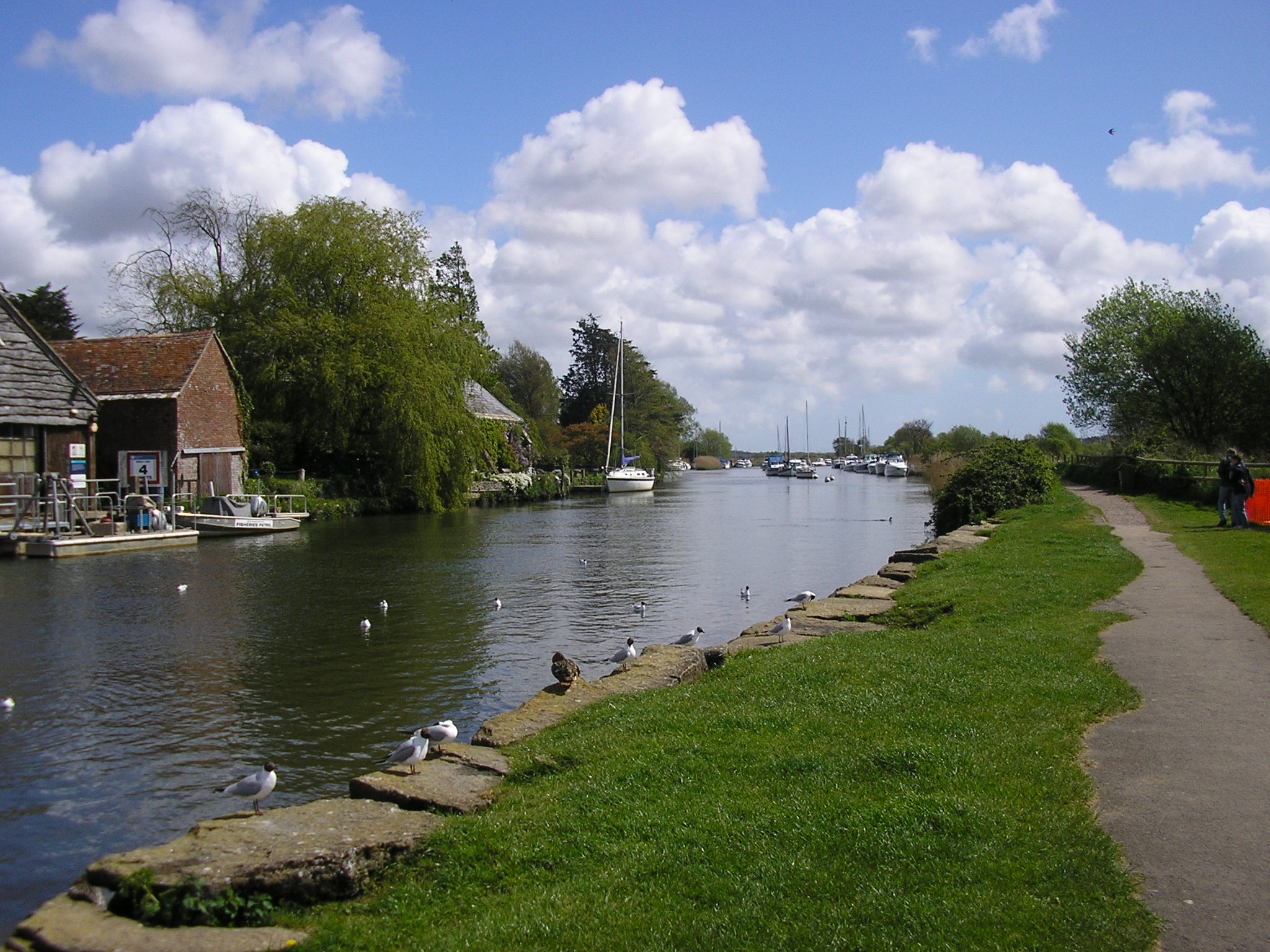
Part of the journey includes walking by the River Frome, linking with the Frome Valley Trail. You might be lucky enough to see a kingfisher or beautiful demoiselle damselfly along the river bank.
| Start point: | Wareham Quay Postcode: BH20 4LP or grid ref: SY 923 872 |
|---|---|
| End point: | Ballard Down (near Swanage) - grid reference: SZ 049 815 or Chapman's Pool (near Worth Matravers) - grid reference: SY 963 778 |
| Distance: | The route travels from Wareham to Corfe Castle, then eastwards to Ballard Down (near Swanage), south and west along the South West Coast path to Chapman's Pool (near Worth Matravers) and north to Corfe Castle. This route is signposted. The route is 27 ¾ miles in total (43.3km) which includes 11 ½ miles (18.5km) of Coast Path. However the route can be split into shorter sections and can be walked in either direction:
|
| Accessibility: | The first ½ mile (0.8km) of the Purbeck Way has been improved for wheelchair access so that it is a level, well surfaced path with seating. At the start of the Purbeck Way there is access into Priory Meadow which is also wheelchair/mobility scooter friendly (gravel paths). The rest of the route is on public rights of way with stiles and gates. |
| Route leaflet: | Download a copy of the Purbeck Way leaflet. For a copy of the leaflet in large print, please call 01258 456970. |
| Relevant Ordnance Survey map: | Explorer map No.OL15 (Purbeck and South Dorset). |
| Footwear: | Walking boots recommended all year - wellington boots are better in winter and after heavy rain. |
| Public transport: |
|
| Parking: | Long stay parking in Wareham is available at Streche Road or Connegar Lane or at Purbeck Park in Corfe Castle. |
| Facilities and Refreshments: | There are pubs and cafes along the route at Wareham, Corfe Castle, Swanage and Worth Matravers. The nearest public toilets at the start of the route are found on Wareham Quay. |
| Other activities in the area: | Wareham Walls, The Wareham Two Rivers Walks, Northport Greenway and Sika Trail, Purbeck Cycle Rides, South West Coast Path, Wareham Forest, Wareham Museum. |
| A link to Google Streetview |
Who is the route managed by?
The Purbeck Way is managed by Dorset Council.
Customer Services - Dorset Council
Email: customerservices@dorsetcouncil.gov.ukFull contact details

