Turners Puddle Heath incorporates an area of 14 hectares of predominantly dry lowland heathland with valley mire and wet heath.
| Nearest Town | Bovington / Wool |
|---|---|
| Grid reference | SY 822 913 |
| Postcode | BH20 7NQ |
| what3words | slung.skunks.sanded roadways.grub.resolved muddle.quiz.pushover |
| Size | 14 hectares |
| Parking | There is roadside parking in a bay within the Forestry Commission's Moreton Plantation. |
| How to get there | From Bere Regis, take the Wool road. After approximately two miles take a right turn signposted for the Tank Museum. Continue along this road ignoring the left turn for the Museum and Clouds Hill. Take the next right. Roadside parking is available soon after turning. Access onto the site is either via a stile or bridleway gate further along this road. |
| Accessibility | Open Access land. The site is sloping with some steeper banks and ditches, and generally uneven ground. |
| Nearest train station | Wool |
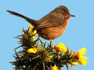
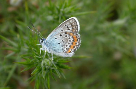
| Look out for | Dartford Warbler, Stonechat, Nightjar, Linnet, Dorset Heath, Bagworm Moth and Silver-studded Blue butterfly |
| Habitats | Heath |
| Site designations | Site of Special Scientific Interest, Special Area of Conservation, Special Protection Area and Site of Nature Conservation Interest |
| Other activities in area | The Lawrence of Arabia Trail, Lawrence Cycle Ride, Clouds Hill, Tank Museum, Monkey World, Higher Hyde Heath |
| Owner | Dorset Council |
| Managed by | Dorset Council (Area Greenspace Management Team - Purbeck) |


