
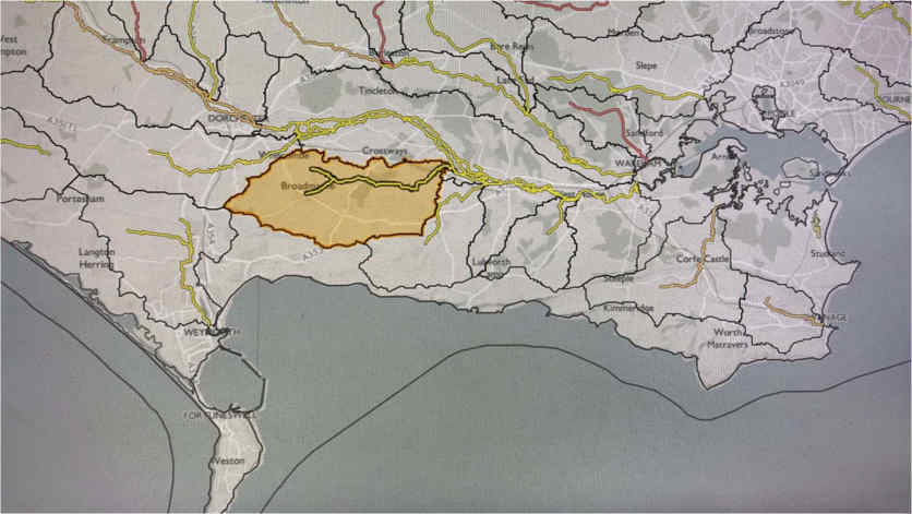
Broadmayne is a village in the English county of Dorset. It lies two miles south-east of the county town of Dorchester. The A352 main road between Dorchester and Wareham passes through the centre of the village. The village lies within the Tadnoll Brook catchment.
Geology
The geology at Broadmayne is described within the British Geological Survey records as having superficial deposits comprising of clay, silt, sand and gravel. These deposits formed up to 3 million years ago in the Quaternary Period, the local environment had been previously dominated by subaerial slopes.
Bedrock is of chalk formation, sedimentary bedrock formed approximately 72 to 84 million years ago in the Cretaceous Period, the local environment had been previously dominated by warm chalk seas.
Hydrology
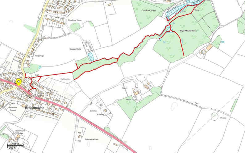
Broadmayne lies in the upper reaches of the Tadnoll Brook, this secondary river flows northeast from beyond the Bakers Paddock development.
Flood Risk
The Environment Agencies flood zone maps show that the village of Broadmayne falls wholly within flood risk zone 1, with a portion also within the 1 in 100yr risk of flooding from surface water.
There has been some recorded history of pluvial surface water flooding in Broadmayne. Records show that significant flooding occurred in 1994, 2009 and 2000 as a result of heavy rainfall events leading to surface water flooding.
The flooding incident recorded on 27th August 2020 had again been the result of surface water flooding.
Future Flood Risk
Climate projections for the next 100 years in the UK indicate that in the future there may be more short-duration high-intensity rainfall events and periods of long-duration rainfall may become more frequent. This may result in increased risk of flooding.