
Dorchester is the county town of Dorset, with a population of 19,060. The town lies on the banks of the River Frome, at the junction of the A35 South Coast East to West trunk road and the A37 to the North. It also has direct rail links to London and Bristol.
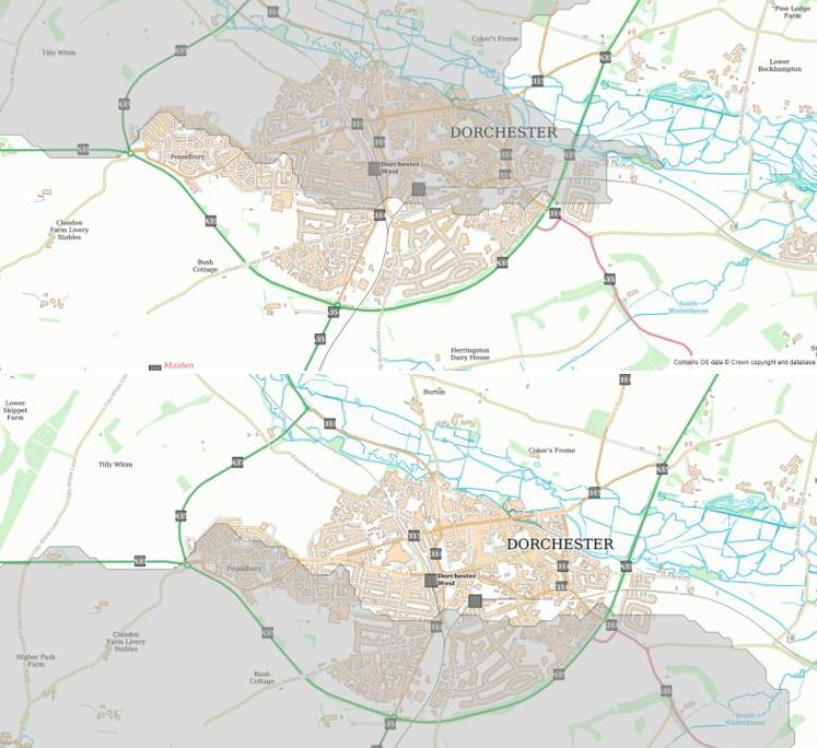
Dorchester lies on a watershed, receiving water from two catchments. The northern half of Dorchester falls into the Frome catchment (205.7km2), with the southern half falling within the South Winterbourne catchment (55.09km2). The South Winterbourne later joins the Frome just North of West Stafford.
Geology
The Frome and Piddle catchment is characterised in the upper reaches of the North Dorset Downs by open chalk downland with steep scarp slopes, sheltered valleys, chalk hills, ridges and limestone plateaux, leading to flat-bottomed open valleys with clay and alluvial deposits at the lower end. The steep slopes at the top of the catchment lead to fast runoff responses to rainfall events. As gradients slacken and valleys broaden through the catchment, there is a more gradual response to run-off.
Figure 1 - Dorchester North and South Catchments
The upper area of the catchment is underlain by chalk geology up to 300m thick, which readily absorbs rainfall and transmits it to the groundwater, which in turn support spring and river flows. This chalk aquifer is used for public water supply.
The middle and lower areas of the catchment are overlain by up to 100m of mixed geology including clays that, in contrast to the chalk, do not readily absorb water allowing it to remain on the surface before discharging into the rivers.
Hydrology
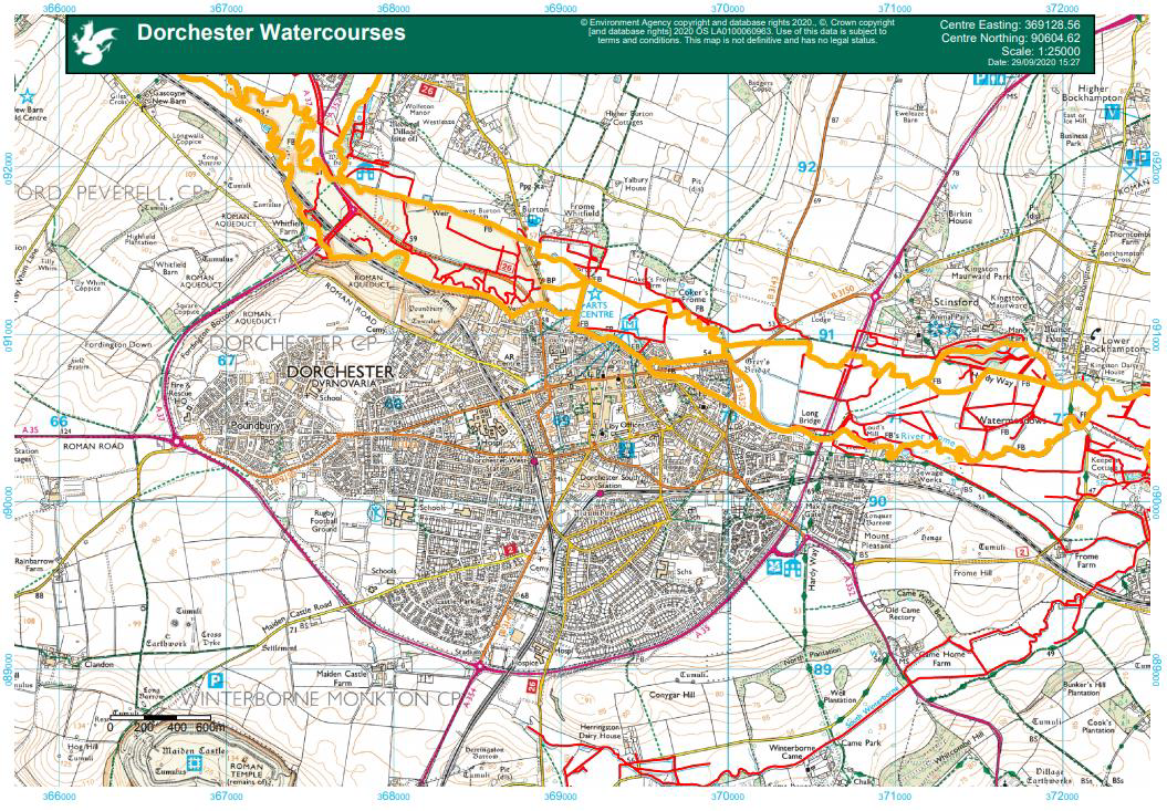
The river Frome flows into Dorchester from the North West, with the main channel flowing across the flood plains north of the town, meandering east. The main river then flows under the London Road bridge and along Lubbecke Way, continuing east out of the town. Before reaching the flood plain, the main river splits at Hangman’s Cottage into the Mill Stream channel which flows along Frome Terrace with a separate channel filtering north-east before Swanbridge Court to re-join the main river before the London Road bridge. The Mill Stream continues to flow under Swan Bridge, along Malthouse Cottages before reaching Mill Street and Princes Bridge. The stream then re-joins the river before continuing out of Dorchester in an Easterly direction.
Figure 2 - Location of the Main Rivers and Ordinary Watercourses in Dorchester
Flood Risk
Due to the topography of the town, the majority of Dorchester is not at high risk of flooding. However, this event highlighted low-lying areas which are at risk of surface water and sewer flooding. This risk is heightened due to the more frequent and intense rainfall we are now seeing. It should be noted that the groundwater levels were low during this event.
There have been previous flood events in Dorchester, both fluvial, pluvial and groundwater, which have caused internal flooding. The most recent major flood was in July 2012, when a total of thirteen properties were flooded internally, mostly around Kings Road and the Mill Stream area.
Future Flood Risk
Climate projections for the next 100 years in the UK indicate that in the future there may be more short-duration high-intensity rainfall events and periods of long-duration rainfall may become more frequent. This may result in increased risk of flooding.